Airborne Museum Sainte-Mere-Eglise
The Airborne Museum is located in Sainte-Mere-Eglise and is dedicated to the American paratroopers of the 82nd and 101st Airborne Division who were dropped into Normandy and fought as part of Operation Overlord.
Read more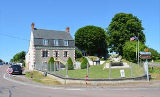
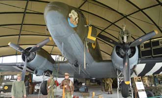
Dead Man's Corner Museum
The Dead Man's Corner Museum tells the story of the American Airborne forces who dropped onto the Carentan peninsula in June 1944 and the Germans who opposed them. It houses a large collection of German and American equipment and uniforms
Read more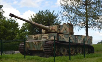
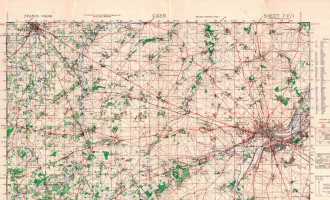
Vimoutiers Tiger Tank
Vimoutiers Tiger Tank is a Second World War Tiger Tank on the outskirts of Vimoutiers in Normandy. The tank is located outside by the side of the road heading from Vimoutiers to Gacé on D979.
Read more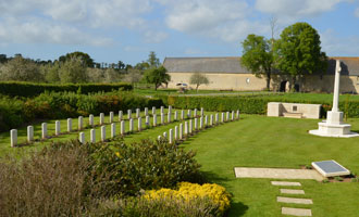
Jerusalem War Cemetery, Chouain
Jerusalem War Cemetery is the smallest Commonwealth cemetery in Normandy containing 47 burials one of which is unidentified, and one Czech grave. The cemetery is located on the D6 about 9km south of Bayeux just before the D187 near the village of Chouain.
Read more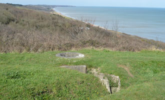
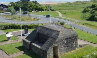
WN60 (Widerstandsneste 60)
WN60 was the most eastern fortification at Omaha Beach and had a view over the whole landing area. Many of the fortifications and trench systems are still present today.
Read more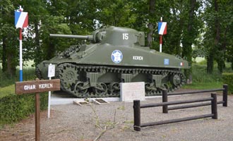
Sherman Tank Keren
Sherman tank "Keren" belonged to the 501st Tank Regiment of the French 2nd Armoured Division and was knocked out on the 12 August 1944 when a German shell struck the turret killing 3 crew members
Read more